



Low-Water Crossings & Road Flooding Status
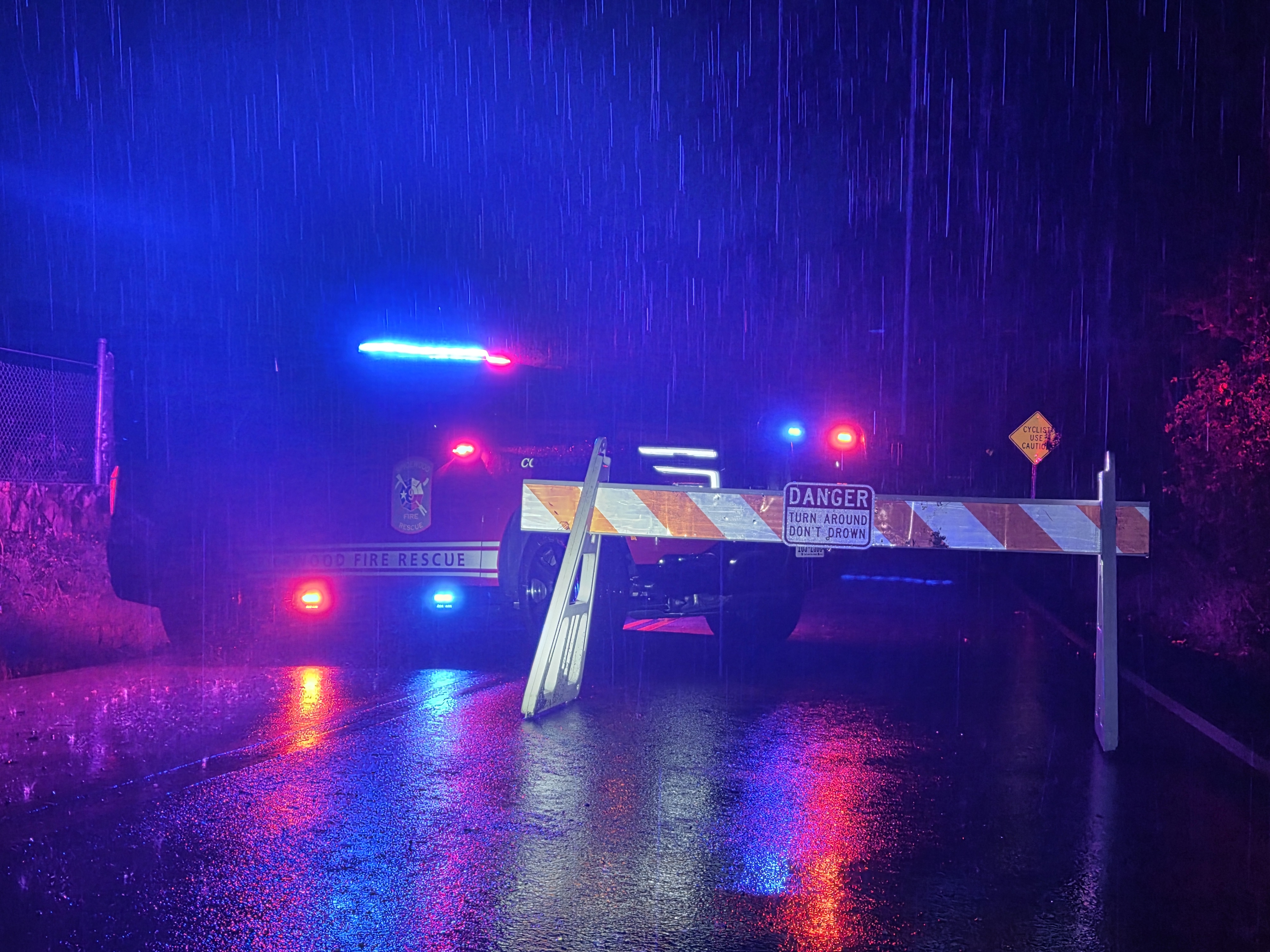
Turn Around, Don't Drown
Just a foot of moving water can carry away most vehicles. Roadways can wash out roadways and hide unseen damage and debris beneath the surface. If you come to a flooded low-water crossing, never drive or walk around barricades or through the water - turn around and find another route.
All flooded road closures in the Spicewood area are reported to ATXFloods.com, where you can view flooding closures across the Hill Country in one place.
Spicewood Fire personnel track the status of low-water crossings on local roadways during periods of rain and rising water. Find a crossing on the map below and hover over its icon for the current status, last update time, and most recently reported water level.
Water level readings are manually reported by BCESD9 personnel when conditions allow and are not live sensor data. Updates may be delayed.
Is a crossing incorrect on our map? Please call our station at (830) 693-7136 - Option 0.
No high water reported; the crossing is open as usual.
Water is over the roadway but the crossing may still be passable. Use caution.
The crossing is closed due to high water. Do not cross.